14-days Sailing – Split – Split N1 North Route 1
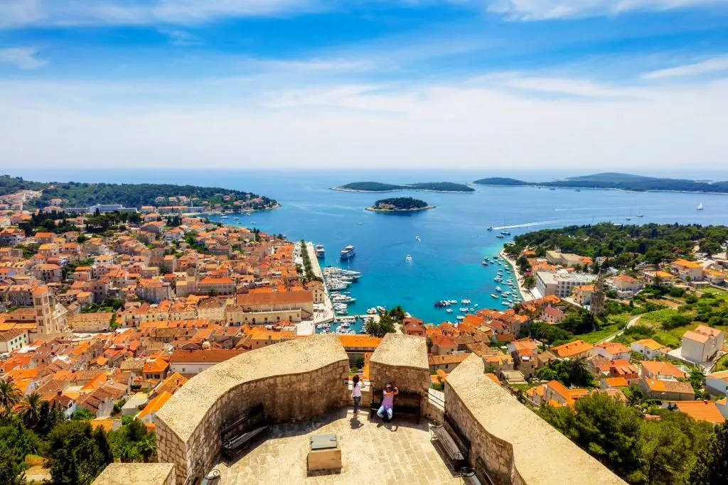
Day 1: Split - Rogač (Šolta) - Uvala Šešula (Šolta)
Rogač is the island of Šolta's oldest settlement, and most of Šolta's traffic with Split goes through it. Its numerous beaches and coves nearby are an excellent premise for nautical tourism. The cove of Rogač is exposed to the north winds. Uvala Šešula is a cove on the western side of the island, well protected of all but the strongest north winds. It offers berthing up to 7m deep.
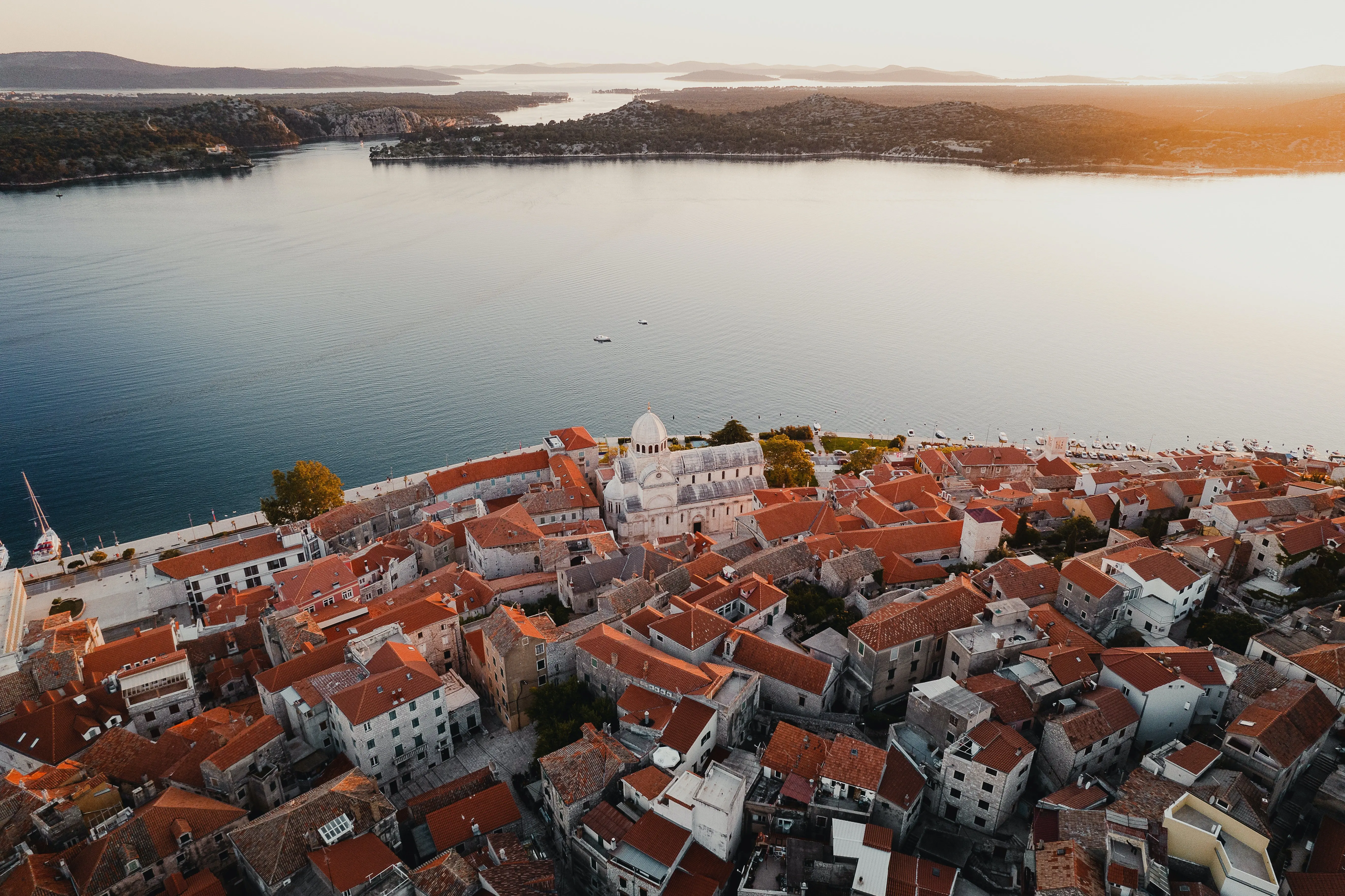
Day 2: Uvala Šešula - Kaprije (Kaprije)
The island of Kaprije is a small island of 7,0 km2 in the Šibenik archipelago. Its interior is dotted with olive groves and vineyards in small patches of tillable soil. The safest berthing is in the Luka Kaprije, the main village port, shielded from all but north and northwestern winds. Berthing is possible up to 7m deep.
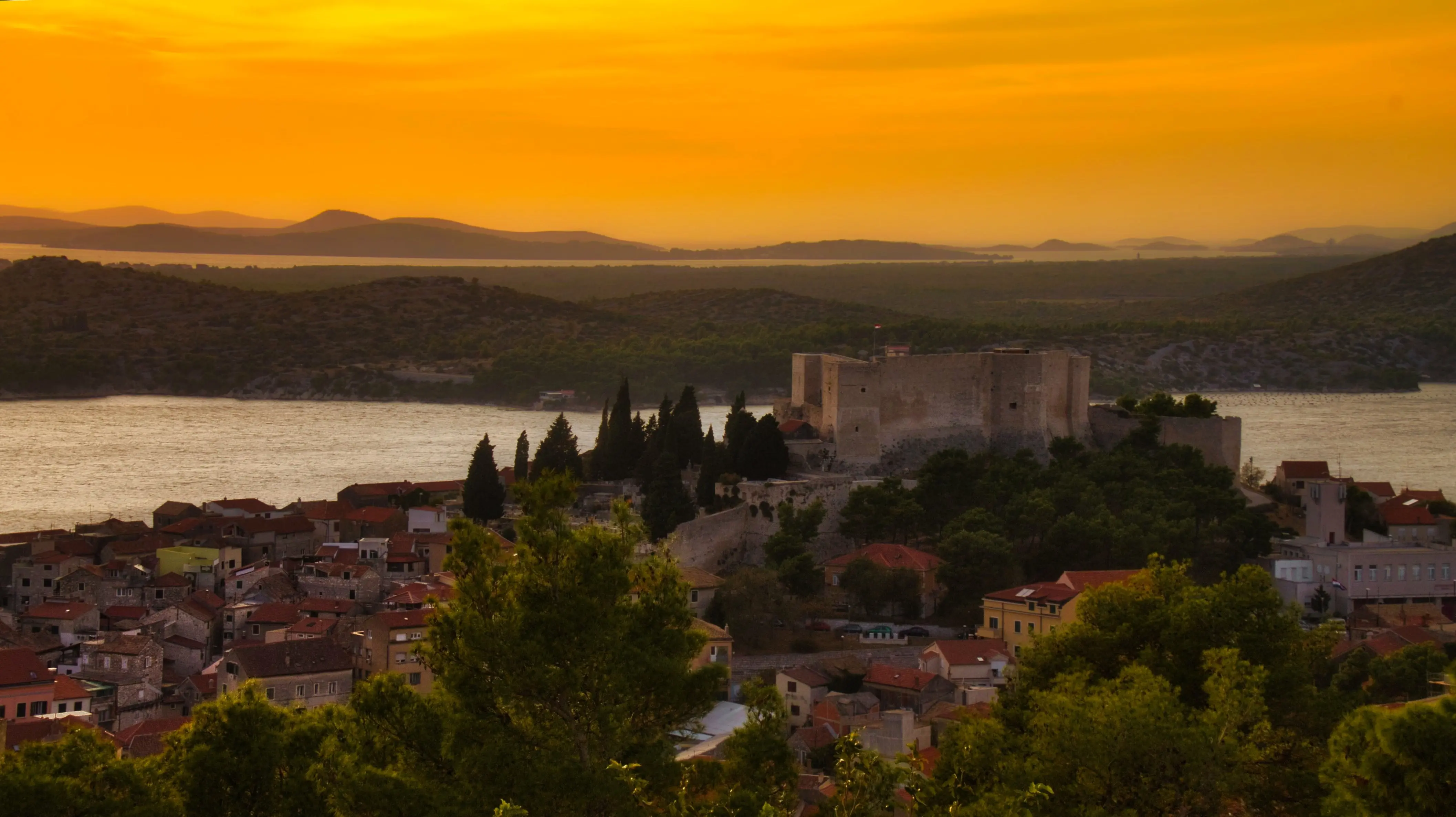
Day 3: Kaprije - Piškera
Piškera is the oldest seasonal fishing settlement in Croatia, meaning it has been inhabited (mostly by fishermen) only during main fishing seasons. It blossomed in the 16th century, due in part to the fresh water sources on the island itself and its neighboring isles. Today, Piškera shares the fate of many other old fishing villages in the Adriatic; it has become a tourist destination, closely focused on nautical tourism. Adjacent to Piškera, on the north coast of the isle of Panitula Vela, the ACI Marina Piškera is located, housing 150 berths together with all the accompanying content. Together with the similar marina on Žut, Piškera is the center of the Middle Adriatic nautical tourism.
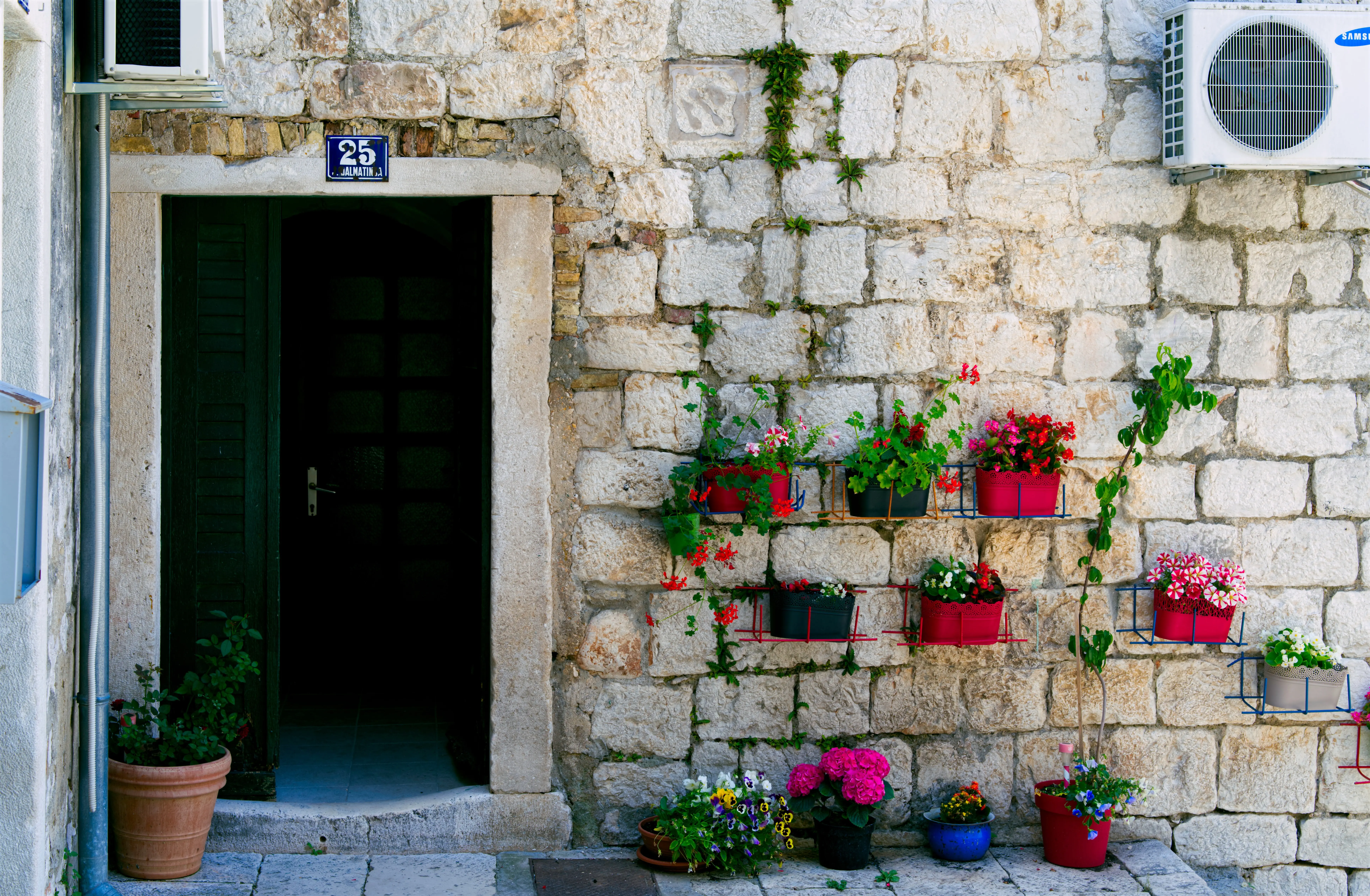
Day 4: Piškera - Telašćica (Dugi Otok)
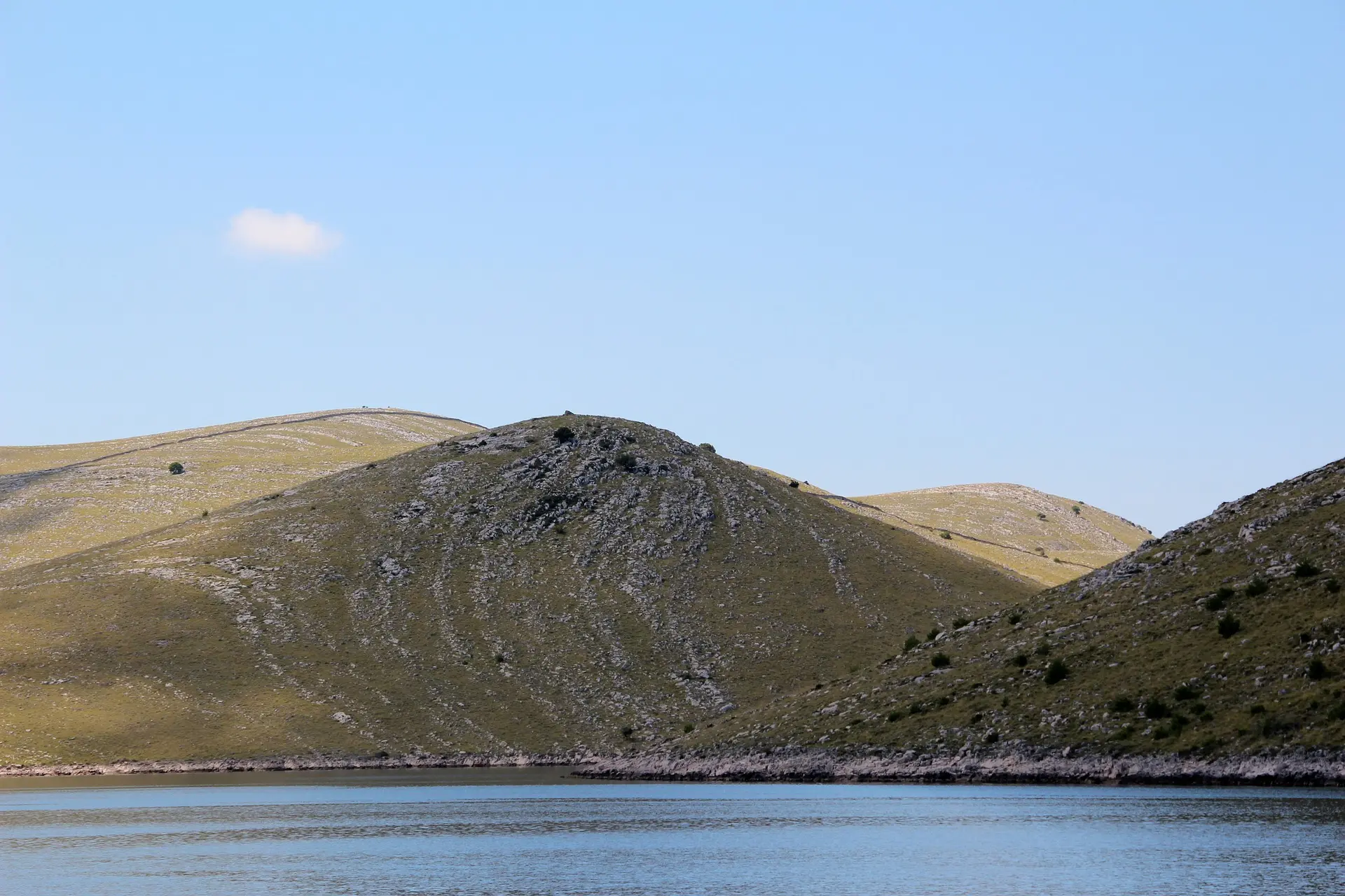
Telašćica is a port on Dugi Otok, cutting 8km into the island. Its maximum width is 1,5km and within it, as well as around it, there are 6 small isles. It offers excellent protection from all winds, especially within its cove Ćuška Duboka, which is 1km indented into the island and offers berthing up to 3m deep. All scuba diving and fishing requires a permit from the Park Management.
Day 5: Telašćica - Rt Opat (Kornat)
The cove at Rt(cape) Opat is well-shielded, but exposed to the south. It offers berthing up to 4m deep, and up to 25m deep at the mouth of the cove. Due to the shallows 180m south of the cove's western cape, it is recommended that approaching the cove be done via the southeast.
Day 6: Rt Opat - Primošten
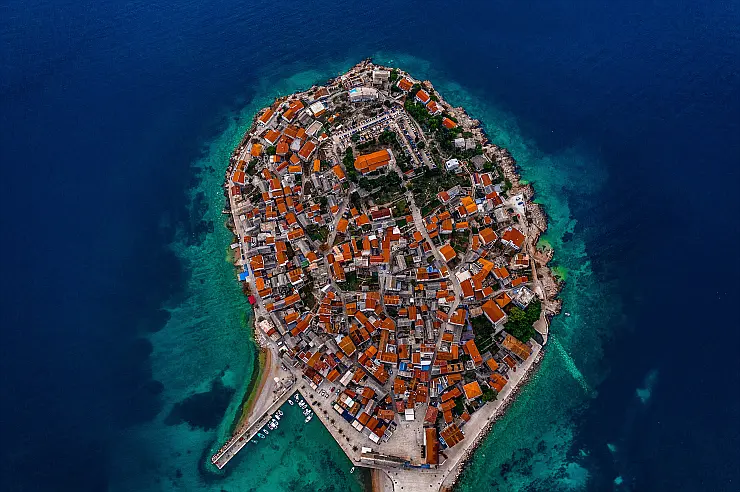
The Primošten area was inhabited as early as the 7th century, with numerous emigration crises through history, due to its important strategic location. It is first mentioned under its current name in 1564, by which time it was already a fortified settlement on a small island. After the Turkish threat was over, the hard working people of Primošten have labored to develop their town, and it has seen only prospering since that time and today, all the while preserving its natural and cultural heritage. The Kremik marina of today, with over 400 berths in one of the safest places to anchor in the Adriatic, continues the centuries old tradition of Primošten as an important destination; today not so much economic or military, as a beautiful tourism one.
Day 7: Primošten - Uvala Krknjaši (Veliki Drvenik)
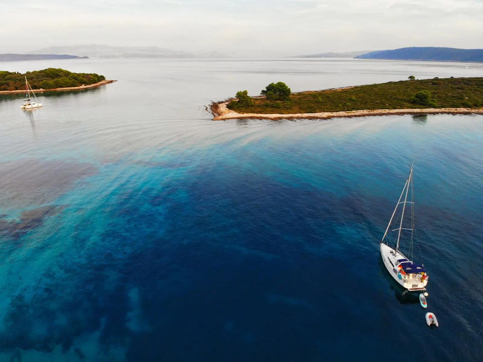
Veli Drvenik is an island in the Split riviera, only 6,2 nautical miles off the coast of Trogir. With a surface of 12km2 and shore length of 23km, it is highly indented and therefore very suitable as a nautical destination. All underwater activities around Drvenik are strictly forbidden. Uvala Krknjaši is a cove on the east side of the island, well protected from the winds, especially west and northwestern ones. It is an excellent anchorage, and a small resort in the cove offers accommodation and domestic specialties. Kayaking trips are organized around the island as well, its mild weather conditions and shallow water, coupled with pristine natural beauty being irresistible for adventurous visitors.
Day 8: Uvala Krknjaši - Komiža (Vis)
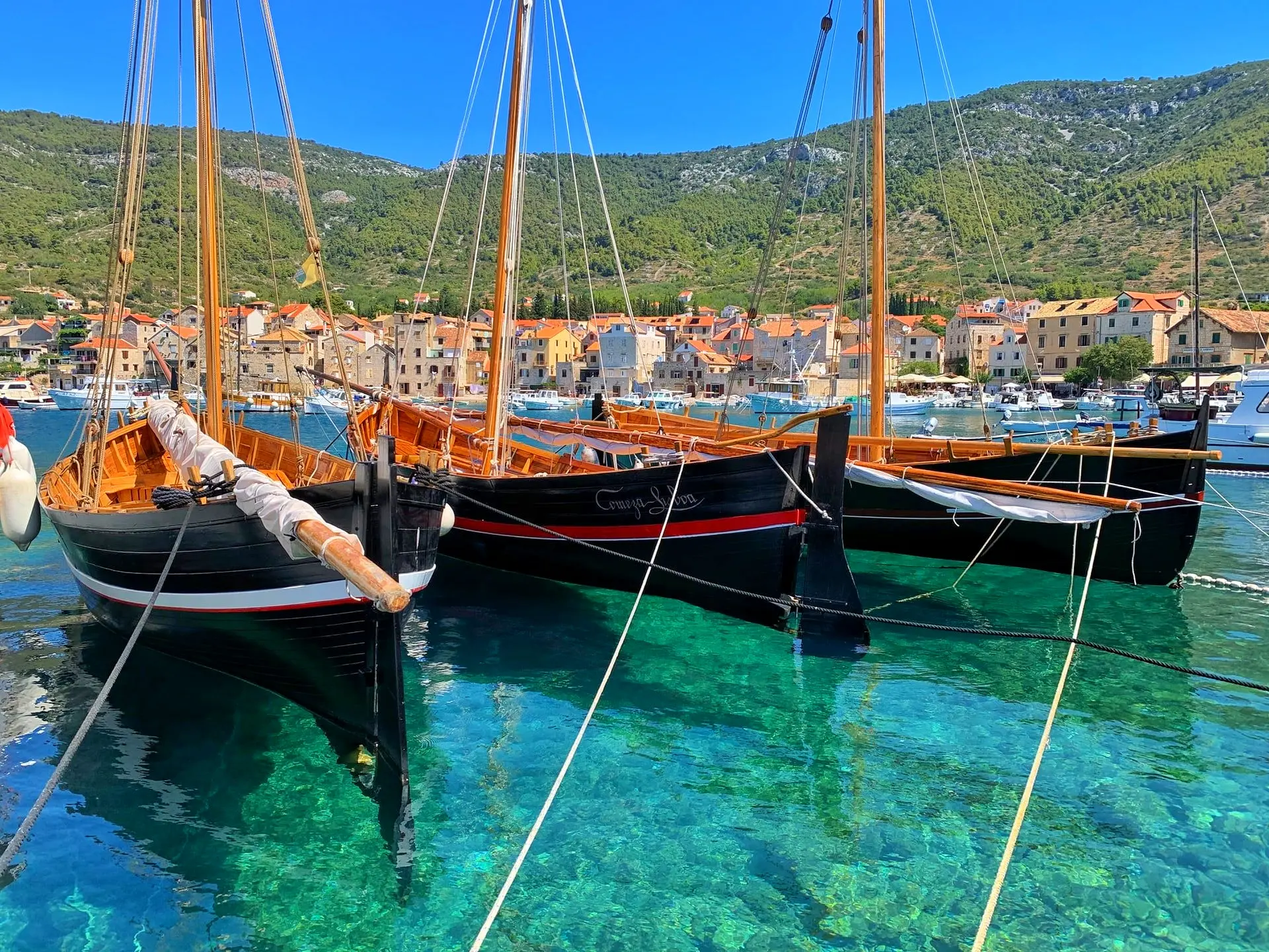
Komiža, the port and town, is situated on the west coast of the island of Vis, along the northeastern side of the spacious bay of Komiža. The port is protected against the east and northeastern winds, but is exposed to the west and southwestern winds. Komiža is considered the cradle of fishing in the Adriatic, as the Fishermen's museum in town testifies. Unique in Croatia, it is located in the old Venetian tower at the town riva. The construction of wooden ships over the centuries has given birth to the "falkuša", a fishing ship endemic to Komiža, unique in the world for its specific build and sails.
Day 9: Komiža - Biševo - Vis (Vis)
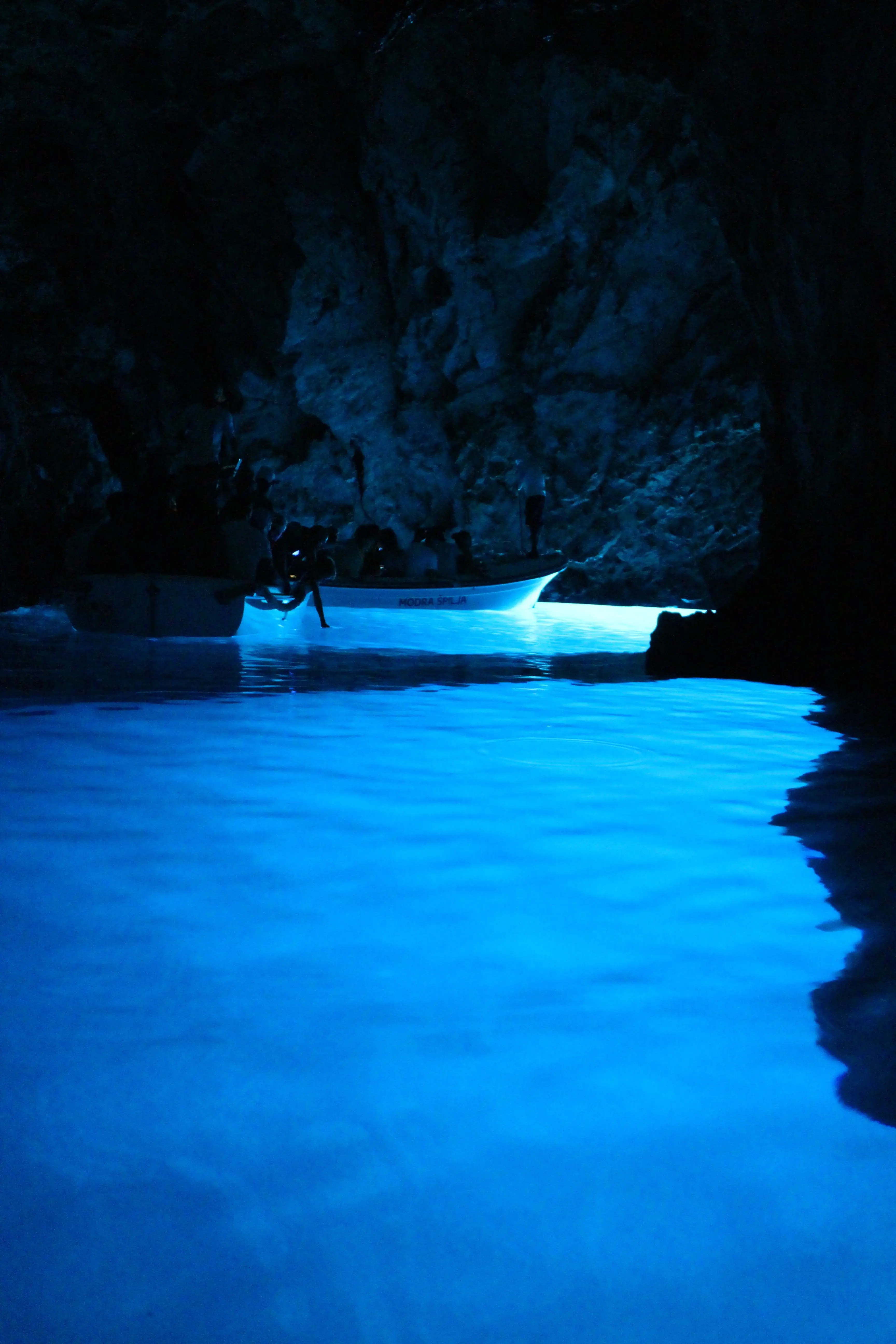
The island of Vis is the destination of choice for those visitors who desire the experience of the unique, today largely lost, true Mediterranean atmosphere and way of life. A unique cultural and historical heritage, crystal clear sea; beautiful, secluded beaches, and many small coves and isles will leave you breathless. The entire history of Vis is linked to fishing, wine growing and wine production. The most renowned authentic white wine is the famous Vugava of Vis, which you can taste in many restaurants and wine cellars here. The town of Vis is situated on the north side of the island, along the beautiful cove of St. Juraj, which appears closed in a ring-like form by the isle of Host. Numerous luxurious restaurants and traditional taverns in the very center of town, will attract you with domestic specialties and a pleasant atmosphere. The port of Vis has low protection against stronger winds. Not far from the island of Vis, a small paradise island rises from the sea - Biševo. It is renowned for its beautiful sandy beaches, colorful underwater life and unusual natural phenomena. The coastline of Biševo is dotted with many caves, the most famous of which being the Blue Cave, in the Balun cove. On sunny days, at high noon, the sunlight penetrates the cave through its underwater entrance, is reflected off the white rock bottom and illuminates the cave in astounding shades of blue, and items submerged inside in all the shades of silver. Entry to the Blue Cave is permitted by small rowboat only, and only in quiet, waveless weather.
Day 10: Vis - Pakleni Otoci - Palmižana
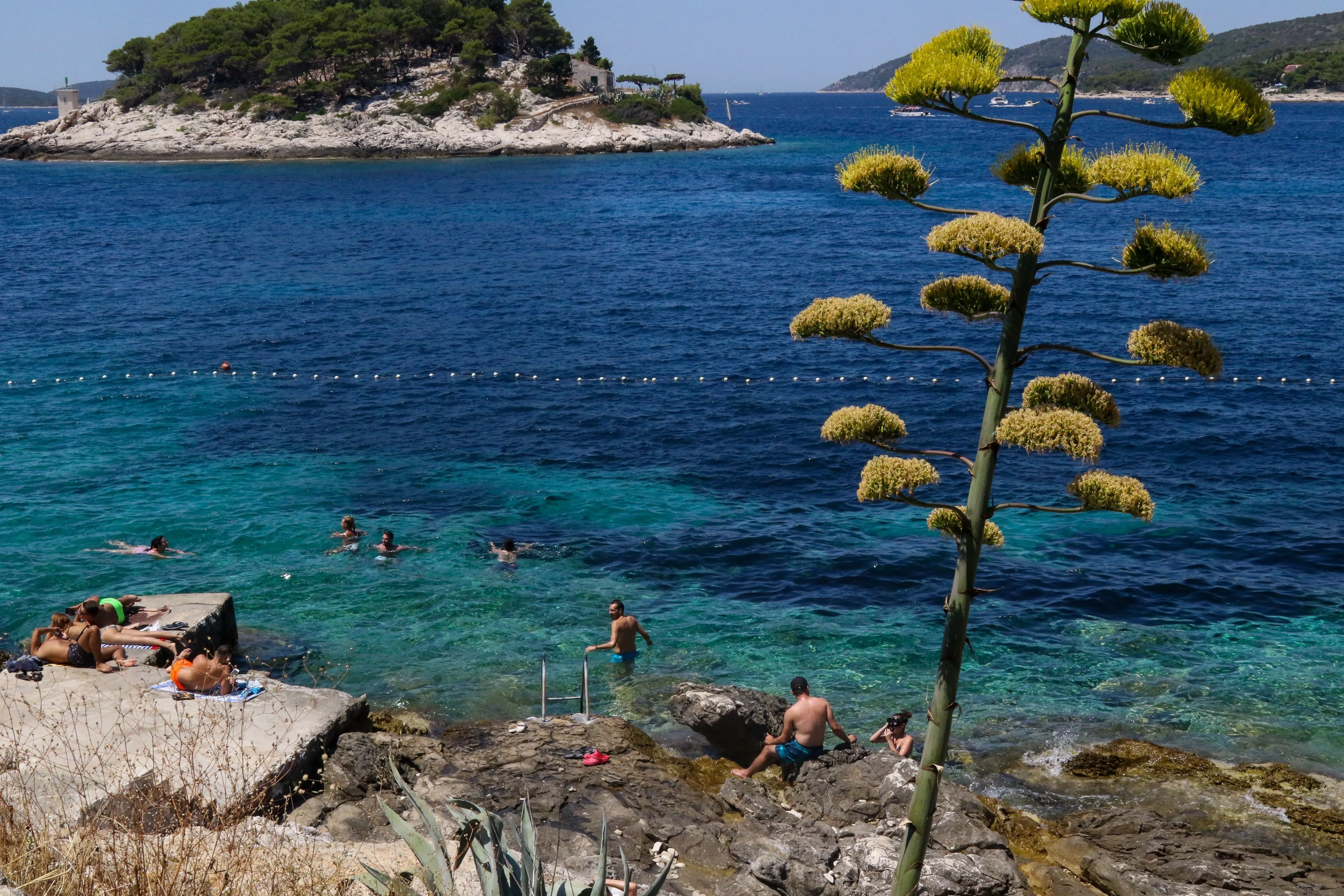
Off the southwestern coast of the island of Hvar, a group of around 20 isles and reefs is situated, known as the Pakleni otoci (infernal islands). Pakleni otoci are a unique and the most distinguished natural beauty of Hvar. Forested isles amidst crystal clear blue sea, countless secluded beaches and beautiful desolate inlets, present a far-known sunny Arcadia of Hvar. The best shelter on Pakleni otoci is the ACI marina Palmižana on the northeastern coast of the isle of St. Klement, which is shielded from all winds. However, in a strong southwestern wind, some tidal waves may occur. Palmižana is the oldest and best known resort on Hvar. It is surrounded by thick pine forests and various other exotic vegetation.
Day 11: Palmižana - Stari Grad (Hvar)
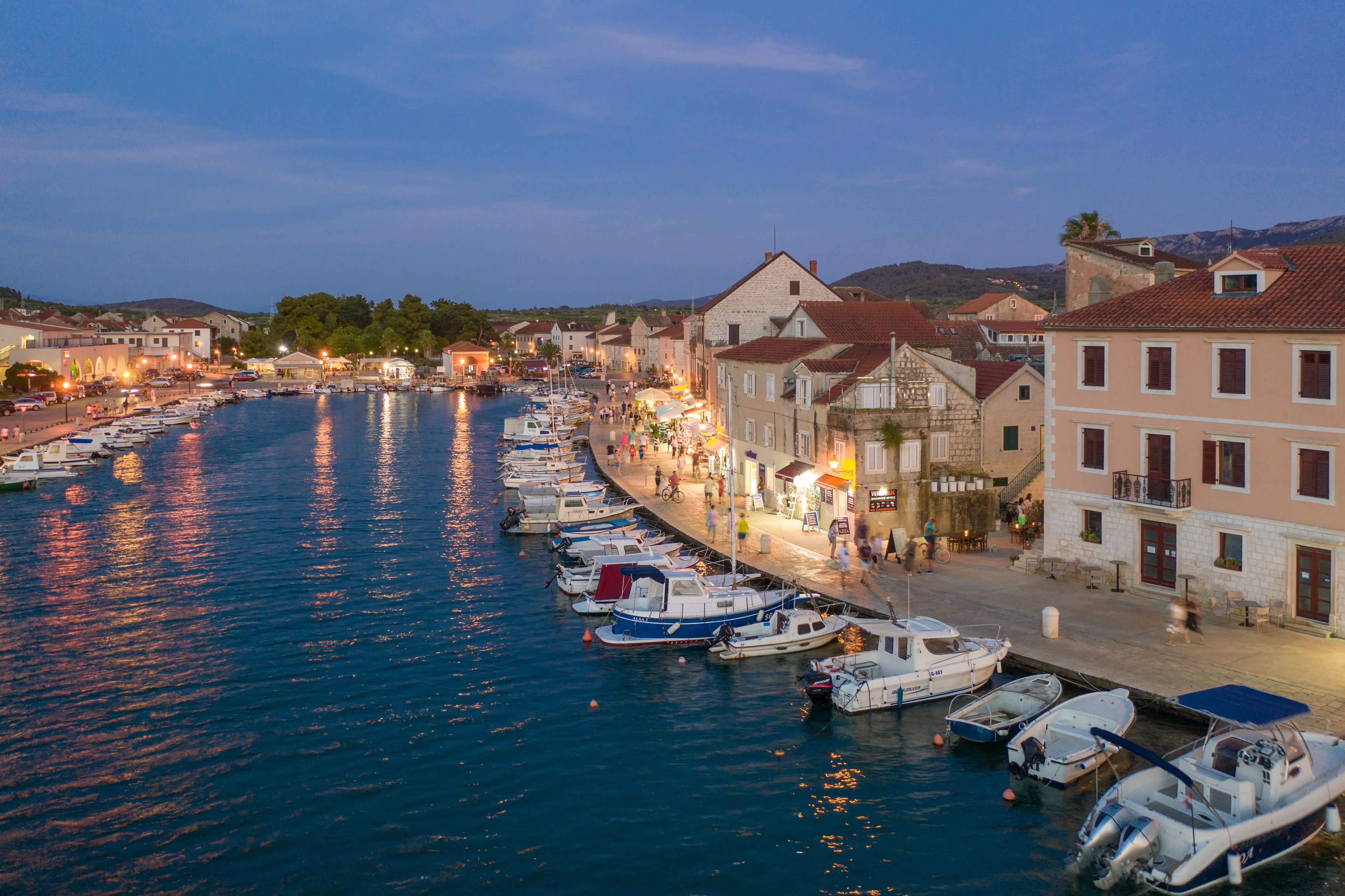
Stari Grad is the oldest city in Croatia, a peer of Aristotle. It is situated at the end of a bay 4nm deep, along the northwest coast of Hvar. Due to its central position, it has been a seamen's sanctuary for centuries; today, the Stari Grad cove is an obligatory stop for sailors cruising the Adriatic. The city is surrounded by vineyards, olive tree orchards and pine woods. Its population's main occupations are wine making, olive oil production, pomiculture, fishing and especially tourism. Various options for accomodation; taverns and restaurants serving domestic specialties and traditionally fine island wines; cultural landmarks, as well as the variety of sports and recreational activity options, attract numerous visitors. The sea around Stari Grad is renowned for its rich flora and fauna. Underwater fishing is possible along the southern coast of Kabel peninsula, which closes around the bay. Stari Grad is not protected against northern winds. Within the Stari Grad bay, the coves Zavala and Tiha offer shelter from these northern winds; the coves Gračište, St. Ante and Maslinica offer shelter from the southern winds.
Day 12: Stari Grad - Jelsa (Hvar)
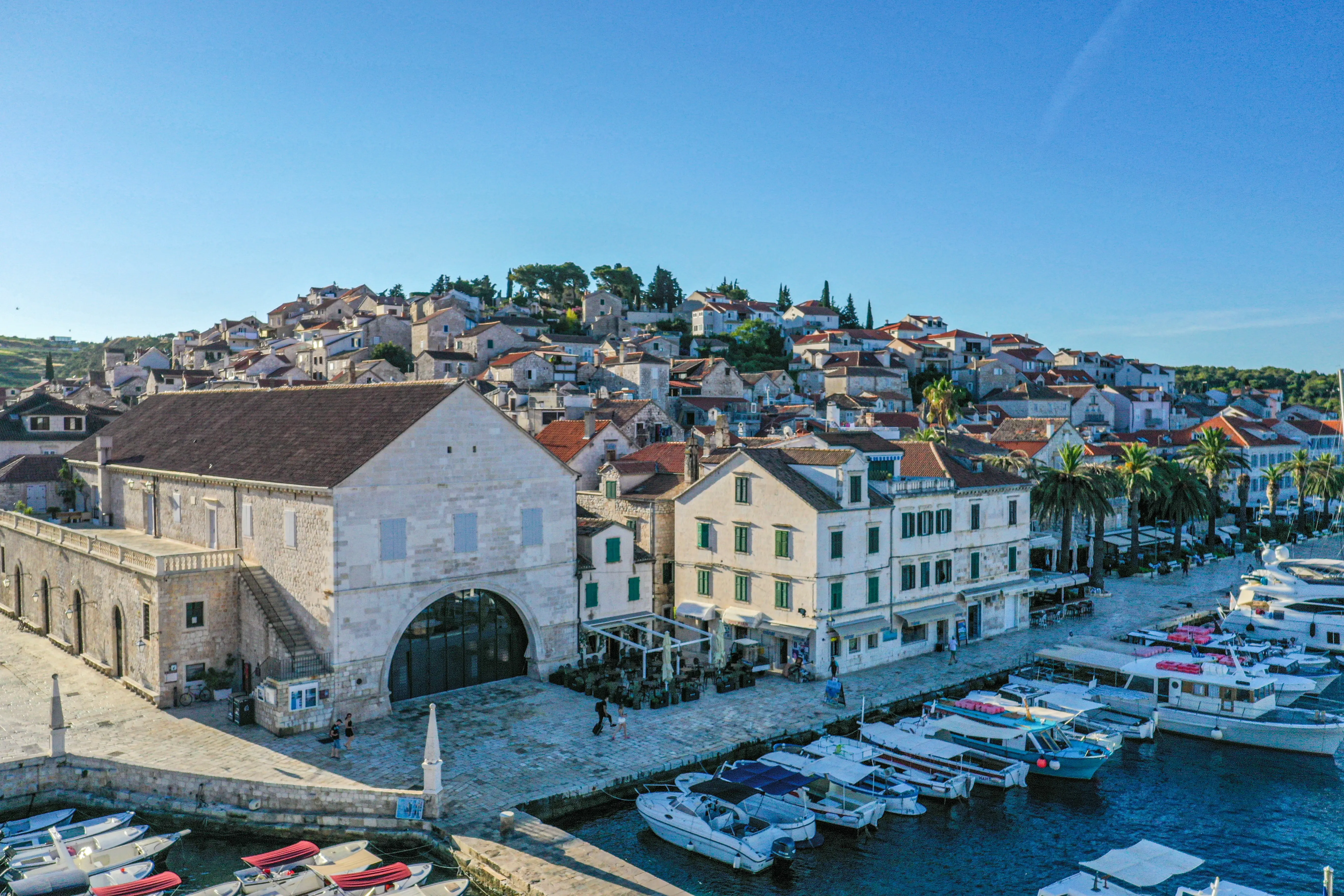
Jelsa is a quiet little town on Hvar, close enough to the main tourist resorts for all the benefits; but still far enough to maintain some of the peace and quiet that traditionally envelops Adriatic islands. The port of Jelsa offers berths up to 12m deep, and is exposed on the north side; as such it is not recommended for berthing in strong bura.
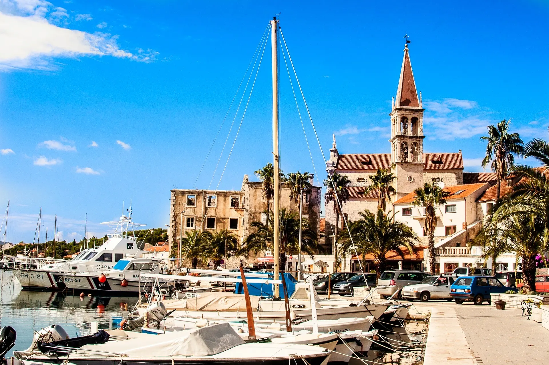
Day 13: Jelsa - Bol (Brač) - Cove Blaca (Brač) - Milna (Brač)
Bol is the oldest town on Brač and one of the most renowned tourist destinations on the Adriatic. It is situated in the central part of the southern side of the island, below the Bolska Kruna range and Vidova Gora - the highest peak of the Adriatic islands. The coastline of Bol is God-given for relaxation, for its many niches of peace and comfort. The area is characterized by beautiful beaches, the most famous of which is Zlatni rat. Zlatni rat is the most beautiful beach on the Adriatic and a unique natural attraction. The gravelly cape is a unique natural phenomenon - spanning over half a kilometer into the sea, its shape and angle continuously shift according to the will of the waves and sea currents. Uvala Blaca, once a famed Glagolitic hermitage, and later an observatory, is located on the eastern slopes of the valley at the south side of Brač; between Bol and Milna. It was first populated in the 15th century by Poljica Glagolitic monks fleeing Turkish invasion, and developed by their hands from a stonewalled cave to a full-fledged monastery with a church and a trading port. All through the 18th century it grew into one of the most culturally and economically advanced areas of the island. With the death of the last of its keepers, priests of the Miličević family, in 1962, this small hermitage came to an end. The cove of Blaca is exposed from the south, and extra tieing up to the shore is recommended. Milna is the most protected as well the most beautiful port on the island of Brač. Protected from stronger winds and refreshed by the maestral wind of summer afternoons, it is the ideal haven for people and boats alike. Milna is situated at the bottom of a spacious cove at the western coast of Brač. Crystal blue sea, shades of centennial pine forests, sunlit facades built of Brač stone, ideal diving conditions, domestic and healthy food - all the reasons for coming to this beautiful Mediterranean town. There is a large selection of excellent fish restaurant, pizzerias and many caffe bars in Milna, situated in the immediate vicinity of the sea. ACI marina Milna is located in the southeastern part of the Milna cove, adjacent to the town.

Day 14: Milna - Split
Milna is the most protected and most beautiful harbor on the island of Brač. It is protected from stronger winds and refreshed by the mistral of summer afternoons, which makes it an ideal refuge for people and ships. Milna is located at the bottom of a spacious bay on the west coast of Brač. Crystal blue sea, shades of centuries-old pine forests, sunny facades built from Brac stone, ideal conditions for diving, local and healthy food - all are reasons to come to this beautiful Mediterranean town. A large selection of excellent fish restaurants, pizzerias and numerous coffee bars can be found in Milna, located in the immediate vicinity of the sea. ACI marina Milna is located in the southeastern part of Milna bay, right next to the town.

